
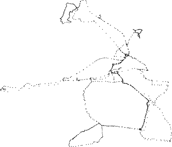
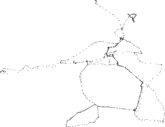
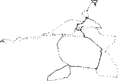
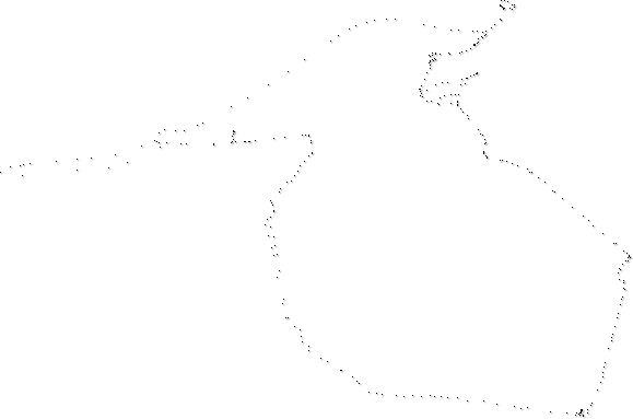
This is my ongoing "mapping" project. I'll push this post up to the top each time the image is updated.
For those of you curious to see it I've cobbled together a URL for seeing this same area on a regular road map. See if you can make a correlation between the two: Street Map.
Previous maps: 12/12, 12/11, 12/10, 12/9, 12/6. As of 12/16 there are 2,087 points in the map. Red tinted points denote hiking/walking (I'm open to a different color suggestion).

We moved into a new office this weekend. This is the view from my desk. We're nestled in a curve of the Mascoma river, ringed by a swath of lawn. Everything about the location is dog optimal. From the frisbee playing lawn to the wet lazy river, ideal for swimming, fetching, or cocking an ear and staring curiously at the creepy crawlee crawdads skittering across the rock bed.
Hey, today it looks like a cowboy on a wild aardvark.
This is cool, what are you using to generate your map with? Also what type of gps are you using?
I have an old Garmin GPS II+. The accumulated track points are downloaded using Ozi Explorer (Win), FTP'd to the OSX powerbook and then run through a pretty simple PHP script (I wrote) to plot the points.
Need to find a serial/usb adaptor for my powerbook so I can skip the windos step. BTW, a great GPS app for the Mac along with oodles of GPS/Map info can be found at www.gpsy.com.
What's up with density of points along the inner right side? Does that represent lots of data ponts triggered b/c of altitude change?
cool thanks. Looks like something fun to play with.
Denser point areas can be caused by a couple of things. Walking ends up storing more points partially from the slower speed (3mph or so) and also from general meandering. For example, the "cowboy hat" in the upper right is a hike in the woods by VCNT.
The other reason is the repeated traversal of a route. The central, dark line is my daily commute (4 miles).
There's an interesting error on the image. Parallel to the lower right dark line are a handfull of dots arching to the right. There isn't a road there, but on that morning the GPS only locked in with "2d" mode and you can see the resulting degradation in accuracy. About a mile later (after the left turn) it captured another satellite and snapped back to a higher accuracy.
Thought you might enjoy this site, if you haven't seen it:
http://www.gpsdrawing.com/gallery.htm#