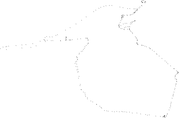
Inspired by the Amsterdam mapping article I started taking a GPS wherever I go. Just turn it on and put it on the dashboard or in a jacket pocket. The GPS determines how often to store a new latitude/longitude point, usually when the route diverts sufficiently. So a slow, windy drive or hike will have lots of points while a straight shot on the interstate will show up as sparse, widely spaced points.
Here's the first image created after a few days. I was thinking it would be like a Family Circus where-is-Billy map but instead it looks more like Jack Skellington's dog in Nightmare before Christmas.
